City Council Meeting Recap: April 22, 2025
More
![]()


The following is a recap of the City of St. John's Regular Council Meeting on April 22, 2025, which provides an overview of Council decisions. All related documents for the decisions outlined below and the full agenda from the meeting is available by clicking the button below.
Development applications are formal requests submitted to the City of St. John's by individuals, businesses, or developers seeking approval for projects that involve land use, building construction, or changes to property. These applications require council approvals and ensure that proposed developments comply with the City’s Envision St. John’s Development Regulations.
The following development applications were reviewed at the meeting:
| Crown Land Grant: Petty Harbour Road |
|
Council was asked to reject a Crown Land Grant application along Petty Harbour Road for cemetery use. The 160 m² parcel is zoned Open Space Reserve (OR), which does not permit cemeteries, requiring a rezoning application. The adjacent land, also used as a cemetery by the same applicant, is nonconforming. Additionally, the parcel lacks public street frontage, and nearby access is via a privately owned right-of-way, complicating development.
Decision: Approved the rejection unanimously. Councillor Ellsworth declared a conflict of interest and abstained from voting as he volunteers with the organization that owns the property. |
| Single Detached Dwelling in the Watershed: 5 King's Hill Road |
|
Council was asked to reject an application for a Single Detached Dwelling at 5 King’s Hill Road in Portugal Cove – St. Phillip’s, as the property lies within the Broad Cove Watershed. Under Section 104(4) of the City of St. John’s Act, new dwellings are not permitted on vacant land within the Watershed, making the proposed development non-compliant.
Decision: Approved the rejection unanimously. |
| Discretionary Use: 31 Malta Street |
|
A Discretionary Use application was submitted by Lavish Nails & Headspa Inc. to operate a beauty salon at 31 Malta Street. The 88.14 m² Service Shop would be open daily with off-street parking available. The property is zoned Residential 3 (R3), and two supportive submissions were received.
Decision: Approved unanimously. |
| Change of Non-Conforming Use: 55 Cashin Avenue |
|
Signage Global Solutions Inc. submitted a Non-Conforming Use application to change the use of 55 Cashin Avenue from a dentist office to a retail business. The 96 m² space will operate Monday to Saturday, 8 a.m. to 7 p.m., with onsite parking provided. The property is zoned Residential 2 (R2), and no public submissions were received.
Decision: Approved unanimously. |
| Change of Non-Conforming Use: 65 Empire Avenue |
|
Core Insight Inc. submitted a Non-Conforming Use application to change 65 Empire Avenue from an Office to a Clinic (chiropractic and wellness). The 148.4 m² clinic will operate Monday to Saturday with two to three staff onsite. The property is zoned Residential Special 1 (RA1). Two public submissions were received—one in support and one raising concerns about traffic, speed and parking. Transportation Engineering has no concerns. The applicant is requesting parking relief for three of the seven required spaces, citing controlled scheduling and nearby alternative parking and transit options. A staff report has been provided in lieu of a formal Parking Report.
Decision: Approved unanimously. |
| Proposed Demo and Rebuild: 267 Thorburn Road |
|
Approval was requested to demolish and rebuild a 125 m² portion of the building at 267 Thorburn Road, which is a Non-Conforming Use (cabinet making) in the Rural Residential (RR) Zone. The property also does not meet current Lot Area and Lot Frontage standards. As required under Section 7.5.3(a), Council approval is needed for any changes to a non-conforming building. The work will not alter the building’s size or footprint, so it will not increase its non-conformity.
Decision: Approved unanimously. |
| Discretionary Use: 5 Lunenburg Street |
|
Betsam International Inc. submitted a Discretionary Use application to operate a Home Occupation retail business at 5 Lunenburg Street. The 45 m² business will offer online and phone orders with pickup or delivery— no onsite sales. It is located in a Residential 1 (R1) Zone with off-street parking available. Of 24 public submissions, two supported the application and 22 opposed, citing concerns about traffic, neighbourhood character, property values, parking, deliveries and child safety. The applicant plans to sell food items and hair products. No transportation engineering concerns were noted, and on-street parking is available as per regulations.
Decision: 8 against, Deputy Mayor O'Leary voted in favor. |
A planning application is a formal request to amend the Envision St. John's Municipal Plan and/or City’s Envision St. John’s Development Regulations. This would include applications to rezone or change the text in the Municipal Plan or Development Regulations. An amendment can be initiated by city staff, City Council, or a property owner.
Active applications can be viewed on the Planning St. John's webpage, which allows the public to learn more about planning applications, track progress, give feedback and ask questions and view upcoming public meetings all in one place.
The following planning applications were reviewed at the meeting:
| Wetlands Map Amendment: Southlands |
|
Council was asked to consider a map amendment to Appendix C, Map 4 of the Envision St. John’s Development Regulations to update the boundaries of the Southlands SL1 wetland. A recent environmental study extended the mapped wetland area further north to reflect its full extent, in anticipation of future residential development in the Southlands area. The new section meets Council’s criteria for wetland protection. A Municipal Plan amendment is not required. Staff recommended public notification (but not a public meeting) per Section 4.8 of the Regulations.
Decision: Approved unanimously. |
| Zone Amendment: 725 Southlands Boulevard |
|
Council was asked to consider amending the Planned Mixed Development 1 (PMD1) Zone in Galway to update Schedule B in Appendix D of the Envision St. John’s Development Regulations. The amendment, proposed by Galway Residential GP Inc., involves increasing the commercial area along Claddagh Road and reducing residential lot frontages on Kinsale Walk, potentially adding up to 11 lots. These changes align with a 2024 Council-approved concept plan for increased density and a grid-like street layout. Staff have no concerns, and the proposal supports Municipal Plan policies promoting mixed-use and higher-density development. Public notification is recommended, with no public meeting required.
Decision: Approved unanimously. |
| Rezoning: 146 Casey Street |
|
Council was asked to consider rezoning 146 Casey Street from the Residential Downtown (RD) Zone to the Apartment Downtown (AD) Zone to allow the development of a 13-unit apartment building with micro-units. The building, formerly the Mission Church of St. Michael and All Angels, has been converted to various uses and will be retrofitted for one-bedroom units, some wheelchair-accessible. The exterior will largely remain unchanged due to its location in Heritage Area 3. The surrounding area includes both residential and apartment buildings, making the proposed use suitable. The development aligns with policies for affordable housing, infill development, and adaptive reuse of heritage buildings. A Land Use Report (LUR) is required, and public consultation will follow once the report is reviewed. Additionally, a clarification to the Development Regulations regarding off-street parking for residential uses is needed.
Decision: Approved unanimously. |
| Text Amendment: 222 LeMarchant Road |
|
Council was asked to consider a text amendment to the Envision St. John’s Development Regulations to allow "Dwelling Unit – 1st storey" as a discretionary use in the Commercial Office Hotel (COH) Zone. This is prompted by an application to convert the Extended Stay St. John’s hotel at 222 LeMarchant Road into a fully residential rental building, creating 99 units (96 studio units and 3 one-bedroom units). The building footprint will remain unchanged, with minor adjustments to the parking lot layout. Currently, dwelling units are allowed on the second storey and higher but not on the ground floor in the COH Zone. The amendment would allow ground-floor residential units as a discretionary use in this zone. The proposed development aligns with the Municipal Plan’s goals of increasing housing options, promoting higher density, and making efficient use of existing infrastructure. It supports the Affordable Housing Strategy by increasing rental housing stock. A land use report is not required due to the nature of the text amendment, but public consultation will be conducted. Staff recommends public notification rather than a public meeting.
Decision: Approved unanimously. |
| Rezoning: 500 Kenmount Road (Hunstman Place) |
|
Council was asked to consider a rezoning request for a portion of land at 500 Kenmount Road (Huntsman Place) from Residential 1 (R1) and Comprehensive Development Area 9 (CDA9) Zones to Residential 2 (R2) Zone for the development of 66 semi-detached and three single-detached dwellings. The development proposal includes extending Huntsman Place and creating two new streets. However, much of the site is above the 190-metre contour elevation, which is the municipal servicing limit, and servicing is unavailable beyond this point. The proposed development exceeds the municipal servicing limit and lacks secondary access, as required by the Fire Department. The rezoning request conflicts with Municipal Plan policies, as development is restricted above the 190-metre elevation and the CDA zone cannot be developed without an approved comprehensive development plan. Given these issues, staff recommend rejecting the application. The proposal aligns with some policies for areas below the 190-metre contour, but the lack of servicing and comprehensive planning prevent it from moving forward.
Decision: Council approved staff's recommendation to reject unanimously. |
| Rezoning: 500 Kenmount Road (Near Huntsman Place and Tigress Street) |
|
Council was asked to consider a staff recommendation on rezoning for a portion of land at 500 Kenmount Road, above the 190-metre contour, from Residential 1 (R1) to Comprehensive Development Area 9 (CDA 9). This land is outside the current servicing limit for water, wastewater, and stormwater systems, which only extend to the 190-metre elevation. To align the zoning with available municipal services, the land would be rezoned to CDA 9, with a Municipal Plan amendment required to redesignate it from the Residential District to the Urban Expansion District.
There are some existing residential lots in this area that were developed above 190 metres. Those properties will remain zoned R1 to reflect the existing development, but further development beyond the servicing limit would place more pressure on municipal infrastructure. The rezoning would reflect the current limit of servicing. A comprehensive development plan would be required for future development in this area, once services are extended. Public notification is recommended, but no public meeting is necessary. A commissioner’s public hearing will follow the Municipal Plan amendment process.
Decision: Approved unanimously. |
Council approved updates to the Development Design Manual, which was originally adopted in January 2024. The document outlines technical requirements for development and replaced the previous Subdivision Design Manual and Commercial Development Policy. Since its adoption, there has been substantial internal review and stakeholder engagement. The updates aim to incorporate new standards, improve clarity, and address errors or omissions.
Council appointed the following individuals to the Anti-Racism Working Group (ARWG):
The ARWG is tasked with developing and implementing a work plan to promote diversity, inclusion, and anti-racism in St. John’s. Following the end of the initial two-year term, vacancies were filled through a Call for Members, seeking applicants with relevant lived experience or expertise in various areas such as BIPOC, women, youth, newcomers, and more.
Council approved road closures related to the Battle of the Atlantic Parade and Ceremony on Sunday, May 4. The event, organized by the Royal Canadian Navy, includes a ceremony at the National War Memorial followed by a short procession on Water Street. Military Police will manage the road closures, which are scheduled as follows:
Water Street (Temperance to Cochrane): 10 to 10:45 a.m.
Duckworth Street (Holloway to King): 10:30 a.m. to 12 p.m.
Water Street (Holloway to Cochrane): 10:30 a.m. to 12 p.m.
Water Street (Cochrane to Ayres Cove): 12 to 12:15 p.m.
Council was provided with a list of Development Permits and Building Permits issued since the last council meeting for their information.
Council approved the weekly payment vouchers for the period of April 9 to April 16.
In celebration of World Poetry Month, there is a poetry reading at each Council Meeting during April.
This week, Jennifer May Newhook shared her poetry and stories. You can check it out on the video recording of the council meeting!
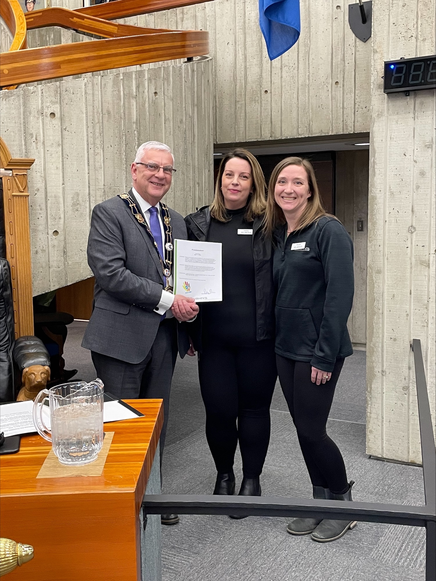
The below proclamations took place at the meeting. All proclamations are also shared on our website.
Contact Us


